Geographic Information System (GIS)

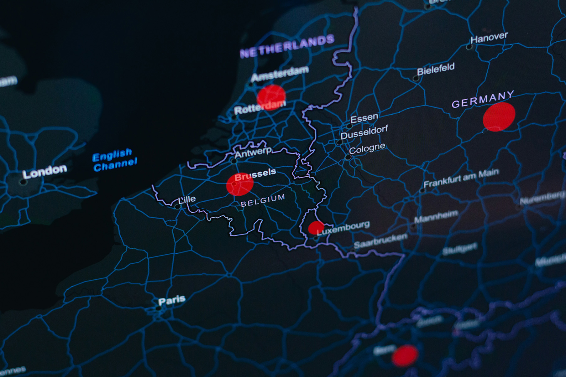
2-0 LCA solution steps - Building solutions for life cycle assessment challenges with SimaPro expertiseDark digital map of Western Europe showing country borders and cities, with red location pins marking Rotterdam, Brussels, Luxembourg, and a point in Germany.

Unlock spatial insights for smarter sustainability decisions.

Understanding environmental impacts often depends on where activities take place. Geographic Information System (GIS) solutions allow organisations to visualise, analyse, and interpret spatial data, turning location-based information into actionable sustainability insights. From land use change and biodiversity impacts to supply chain mapping and resource management, GIS helps integrate geography into decision-making.

Our GIS solutions combine advanced spatial analysis with sustainability expertise, enabling you to identify hotspots, compare scenarios, and make informed decisions based on geographic realities.
2-0 LCA solution steps - Building solutions for life cycle assessment challenges with SimaPro expertise

When do you need GIS?

  • Analyse environmental impacts linked to specific locations and geographic conditions.
  • Map supply chains, land use, or infrastructure to identify sustainability hotspots.
  • Assess historical or prospective land use change impacts.
  • Combine environmental, social, and operational datasets within a spatial framework.
  • Visualise complex sustainability data in an accessible and decision-oriented format.
2-0 LCA solution steps - Building solutions for life cycle assessment challenges with SimaPro expertise

Benefits of GIS

  • Gain location-specific insights to improve sustainability strategies.
  • Identify environmental hotspots and spatial patterns that traditional datasets may overlook.
  • Support scenario analysis and planning using geographic intelligence.
  • Improve communication through clear and interactive visualisation of data.
  • Strengthen decision-making with integrated environmental and spatial analysis.
2-0 LCA solution steps - Building solutions for life cycle assessment challenges with SimaPro expertise

Examples of GIS applications

  • Direct (dLUC), statistical (sLUC), and indirect (iLUC) land use change assessment
  • Biodiversity and ecosystem impact mapping
  • Supply chain and sourcing risk analysis
  • Infrastructure and renewable energy planning
  • Environmental hotspot identification and spatial scenario modelling

Seamless integration

Depending on your needs and existing systems, our GIS solutions can be integrated into your workflow through:

  • Interactive web-based maps and dashboards
  • Generation of spatial layers
  • Quantification of GIS-based parameters
  • Code-based spatial analysis tools
  • Tailor-made geographic modelling and visualisation tools

Martí Rufí Salís, Life Cycle Specialist at 2-0 LCA
Contact our specialist
Marti Rufi Salis
Life Cycle specialist
Get in touch

Related projects

See all related projects
Footer top background effect
Contact phone icon representing direct access to 2-0 LCA life cycle assessment expertise for driving sustainable decision-making
GET IN TOUCH
crosschevron-down