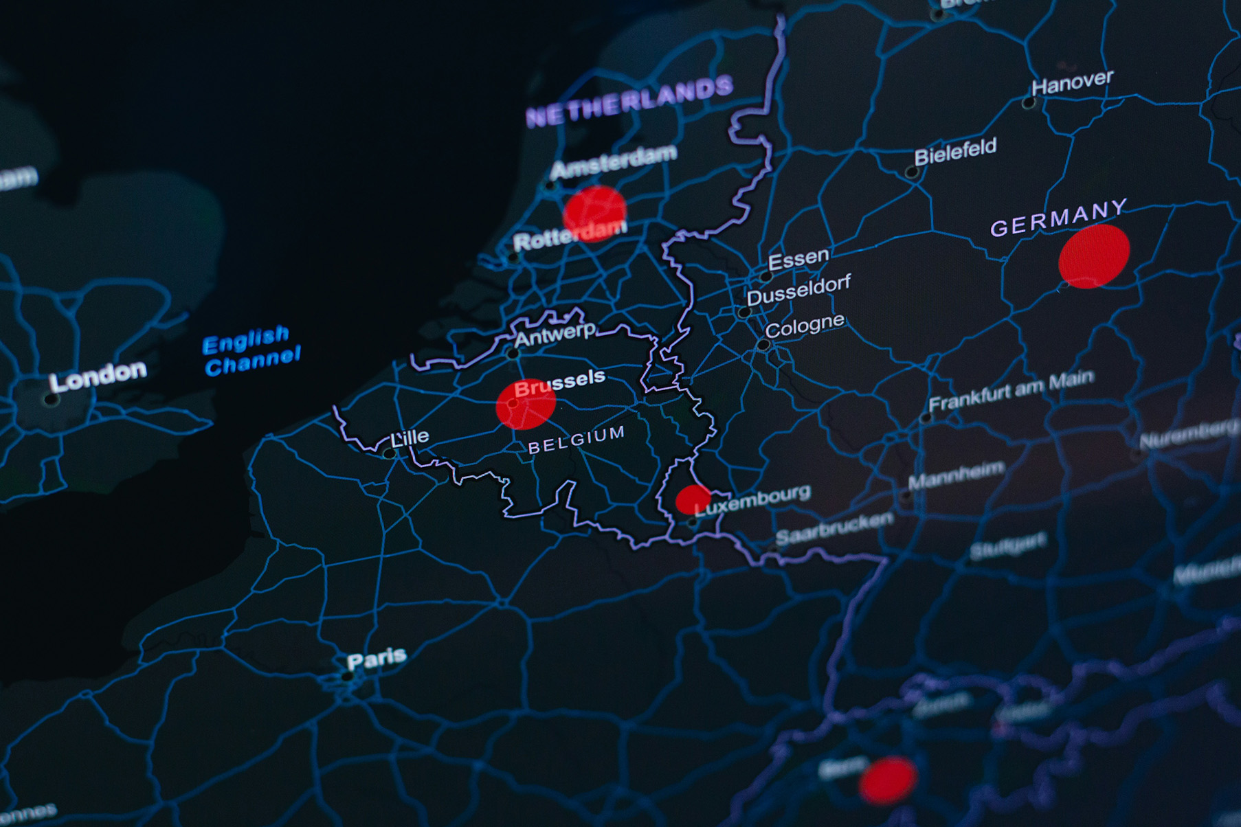
Understanding environmental impacts often depends on where activities take place. Geographic Information System (GIS) solutions allow organisations to visualise, analyse, and interpret spatial data, turning location-based information into actionable sustainability insights. From land use change and biodiversity impacts to supply chain mapping and resource management, GIS helps integrate geography into decision-making.
Our GIS solutions combine advanced spatial analysis with sustainability expertise, enabling you to identify hotspots, compare scenarios, and make informed decisions based on geographic realities.
Depending on your needs and existing systems, our GIS solutions can be integrated into your workflow through:
- Interactive web-based maps and dashboards
- Generation of spatial layers
- Quantification of GIS-based parameters
- Code-based spatial analysis tools
- Tailor-made geographic modelling and visualisation tools